Breznica
castle ruin

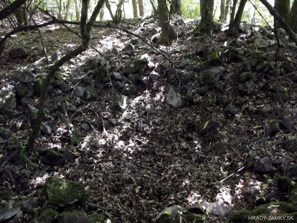
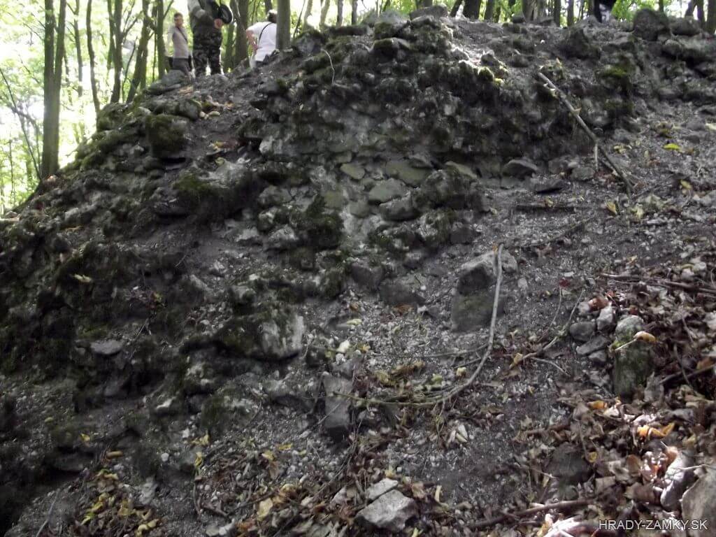
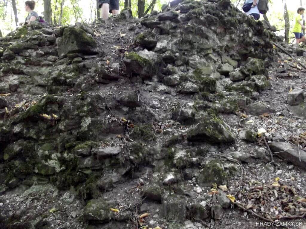
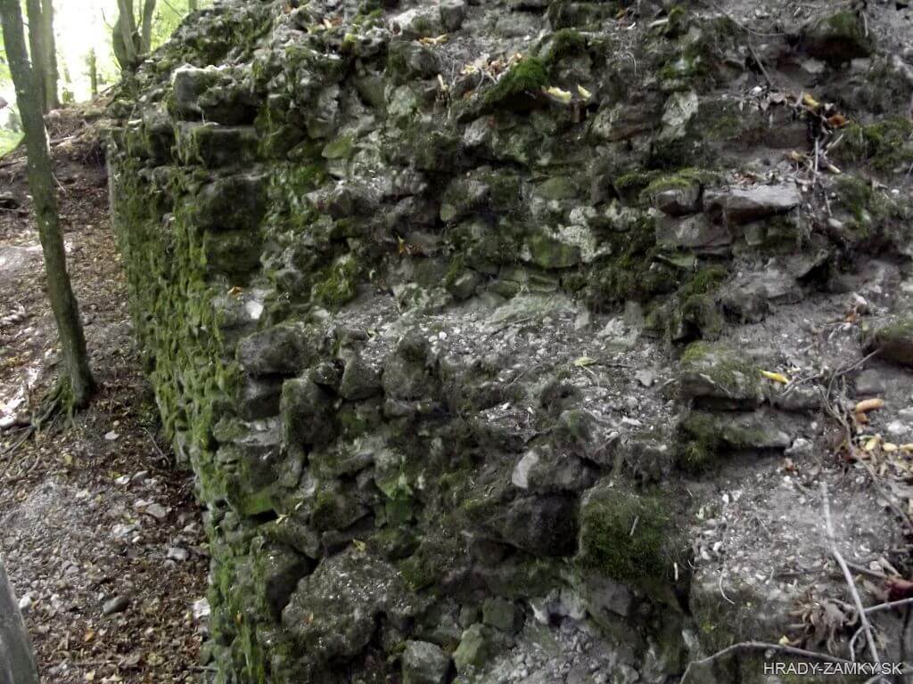
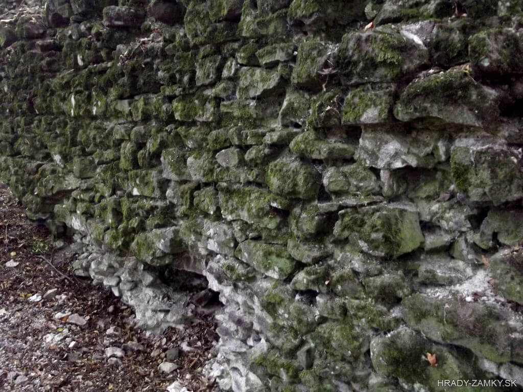
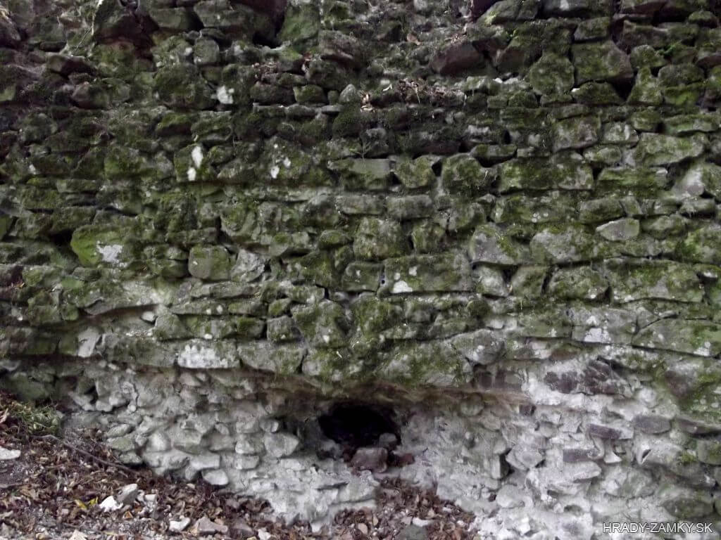
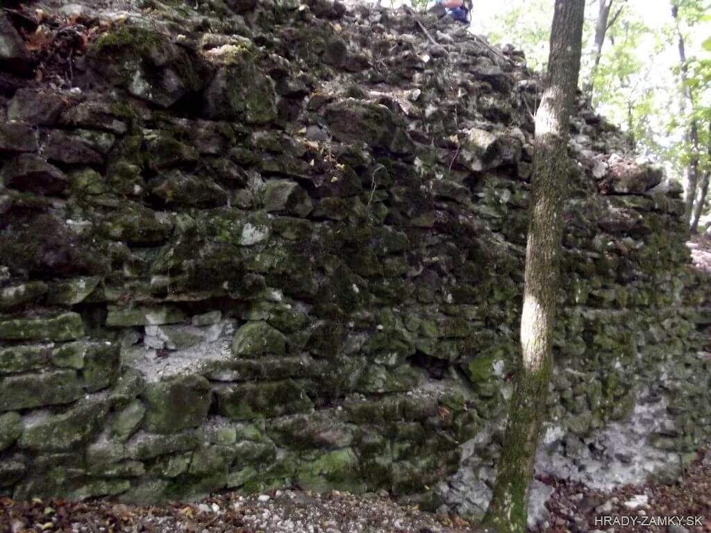
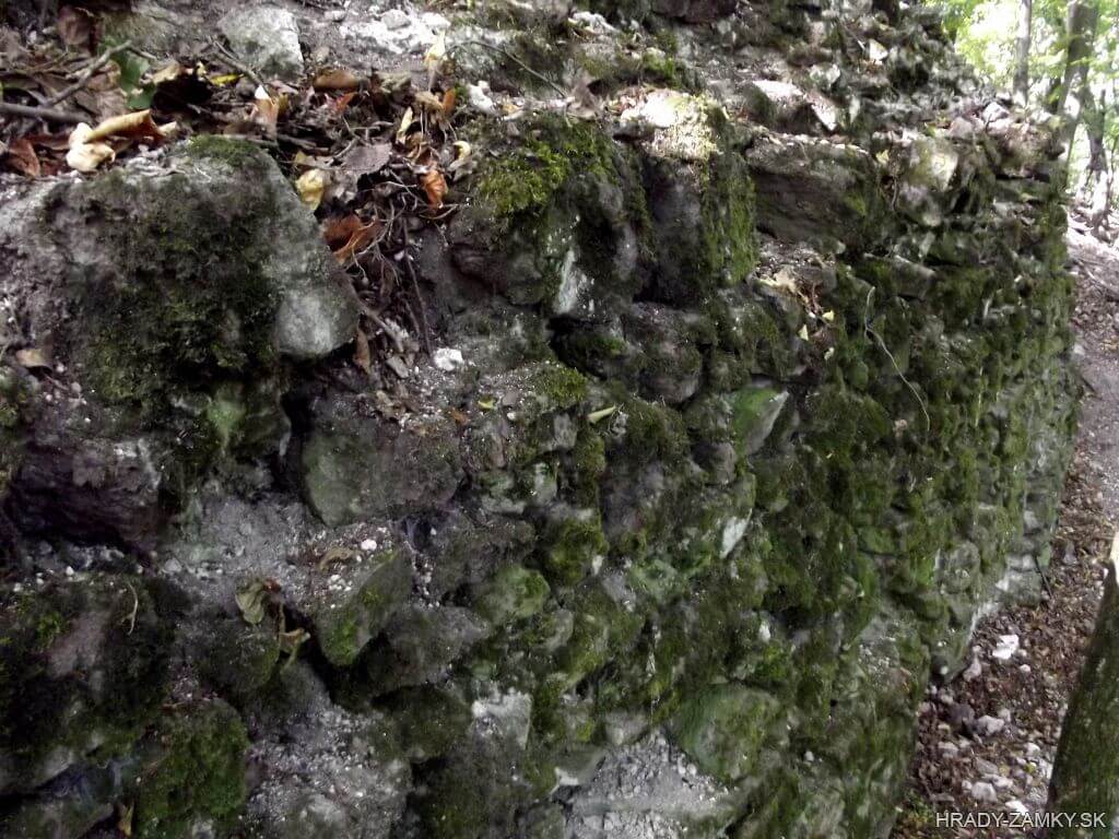
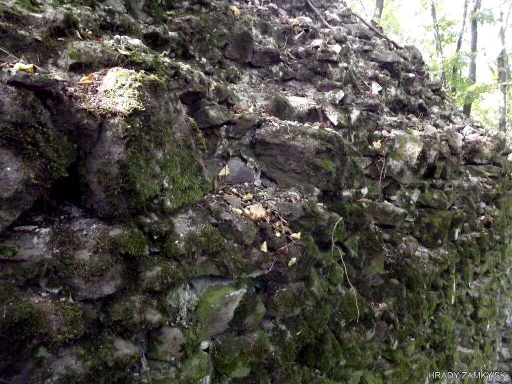
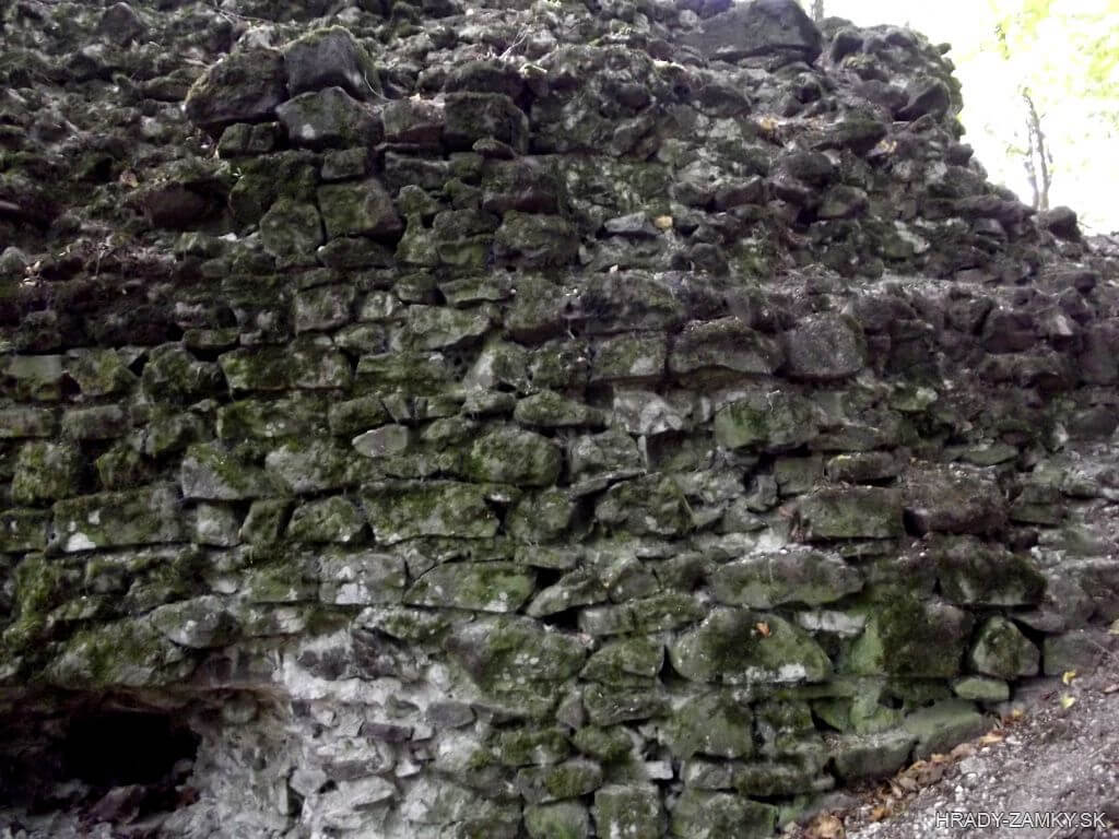
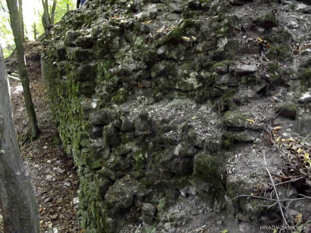
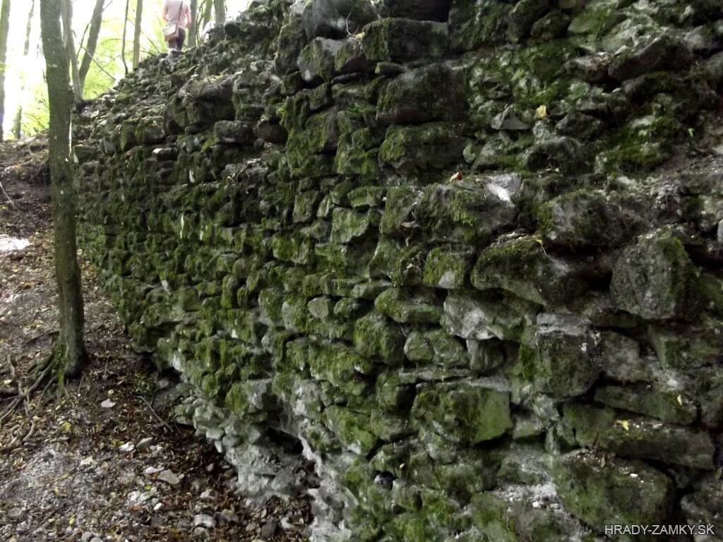
Remains of a castle on the wooded andesite hill Hrádok in the marginal part of the Štiavnica Mountains, above the village of Tekovská Breznica
The ruins are freely accessible
castle ruin
Remains of a castle on the wooded andesite hill Hrádok in the marginal part of the Štiavnica Mountains, above the village of Tekovská Breznica
Tekovská Breznica, Banská Bystrica region
GPS: 48.378,
18.628
445 m a.s.l.
Route 1: In the village Tekovská Breznica we get to the local cemetery, which has a spacious parking lot. From there we walk along the path next to the cemetery (green route), when we enter the forest soon. Here the green route continues to the right and straight is the old original road to the castle, which is very steep and unmaintained. Therefore, we follow the green route on the right along the edge of the forest, which will take us to a crossroads with a shelter in about half an hour. From there we climb the green route to the left through the forest for about another 15-20 minutes to the Hrádok position. From there, only a few meters to the right and we notice the remains of the walls of Breznica Castle.
Route 2: From the car park by the cemetery, as in route no. 1, we continue along the green route almost to the crossroads with the shelter, but before it we enter the forest on the left. At first we climb almost parallel to the green route, then this unmarked route deviates to the left and zigzag path leads us to the Breznický hrad crossroads, where we connect to the green route and continue a few meters to the right to the Hrádok position and to the remains of the castle walls.
Nearby castles (as the crow flies):
Nová Baňa Radnica - 5.1 km, Hronský Beňadik - 6.4 km, Rudno - 6.9 km, Nová Baňa - 7.4 km, Pukanec - 7.6 km, Bohunice - 10.2 km, Bohunický hrádok - 10.6 km, Živánska veža - 12.6 km, Žarnovica - 13.5 km, Pečenice - 14 km
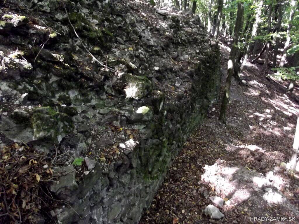
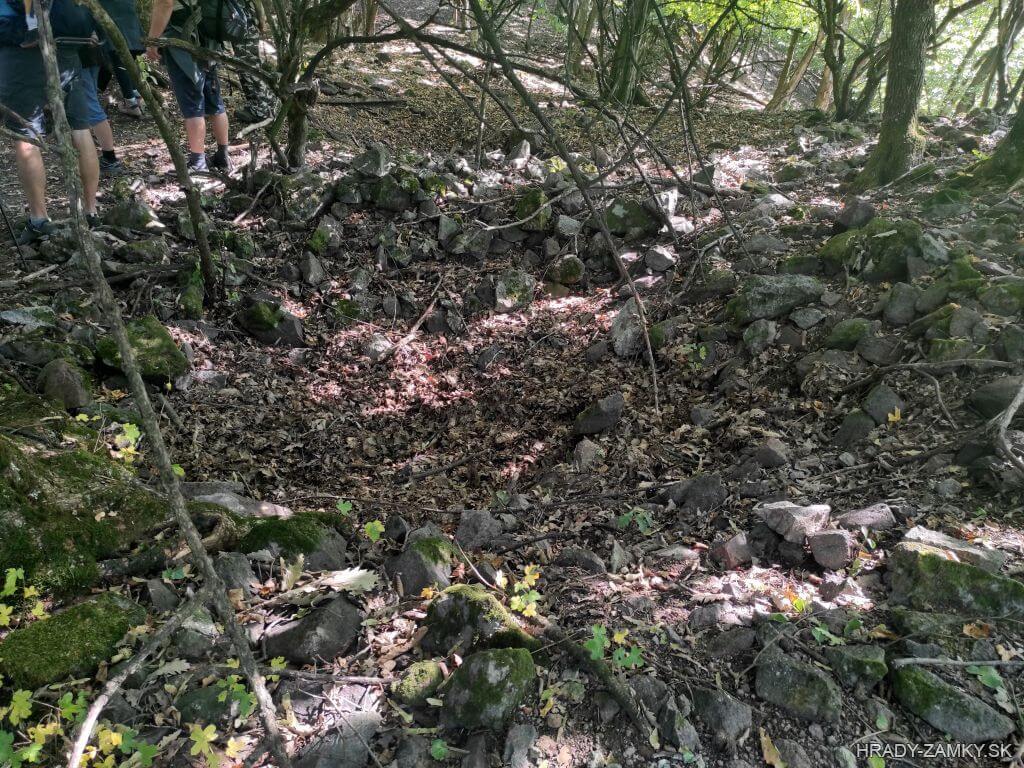
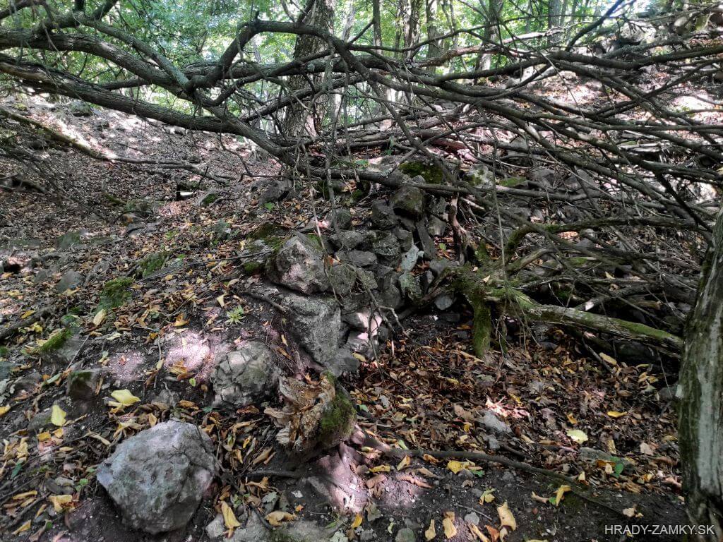
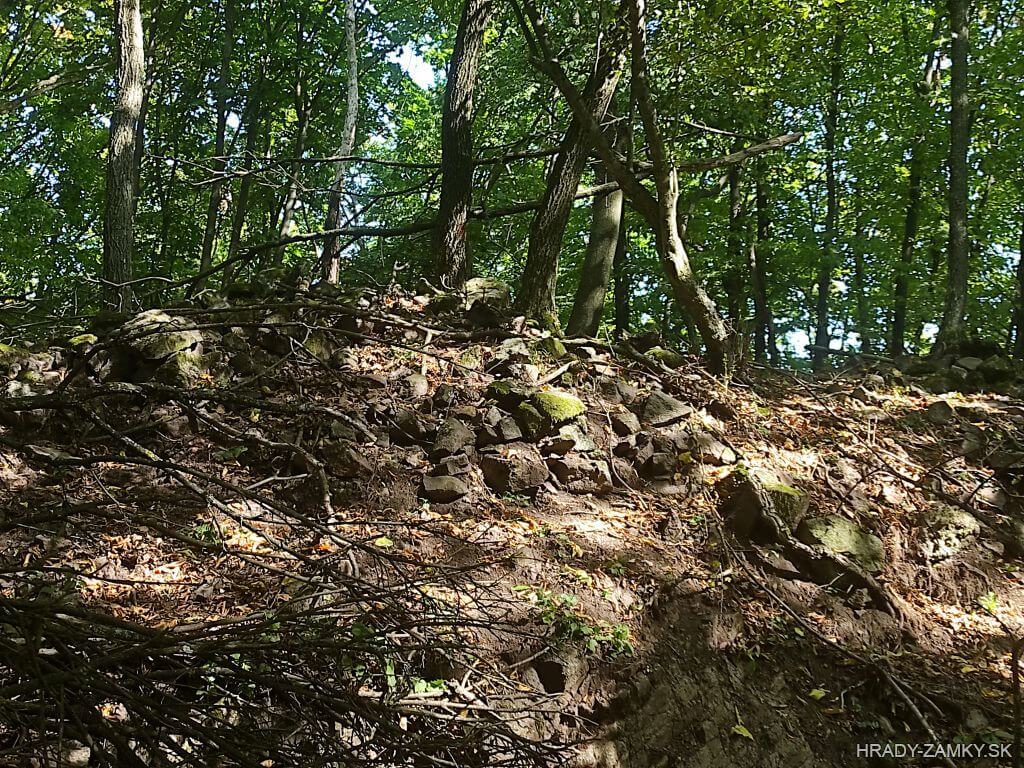
The castle was relatively extensive, and its tripartite layout adapted to the branching summit ridge of the andesite hill. The earliest castle core was probably established in the late 13th century on the highest southeastern spur of the ridge. The surviving remains of the perimeter wall define an approximately rectangular ground plan measuring about 58 × 28 m. The wall was approximately 1.5–1.6 m thick.
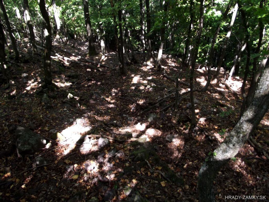
The entrance gate can be assumed to have been located in the northwestern perimeter wall. In front of it, a neck ditch approximately 5 m wide with an outer bank has survived, separating the upper castle from the outer bailey. Terrain irregularities and accumulations of rubble suggest that the core had buildings arranged along the perimeter around a central courtyard. A tower may have stood at the highest eastern corner near a rock pillar, although its existence and exact form can only be confirmed by further research. The upper castle was protected by steep slopes to the northeast and southwest, while its southeastern side was additionally defended by earthen barriers and a ditch.
A large outer bailey adjoined the upper castle from the northwest, approximately 10 m below it. Its two-armed ground plan followed the angled course of the ridge. The northern section was approximately 150 m long and about 30 m wide, while the shorter southern section, turning westwards, measured about 60 m in length and 15–20 m in width. The eastern edge was protected by steep rock faces, whereas the western perimeter and southern section were probably enclosed by masonry fortifications. An additional outer bank also protected the western slope.
Several pronounced depressions within the outer bailey indicate the presence of vanished buildings. A small depression at the western end of its southern spur may be associated with a former tower, although neither its existence nor its character can currently be confirmed with certainty.
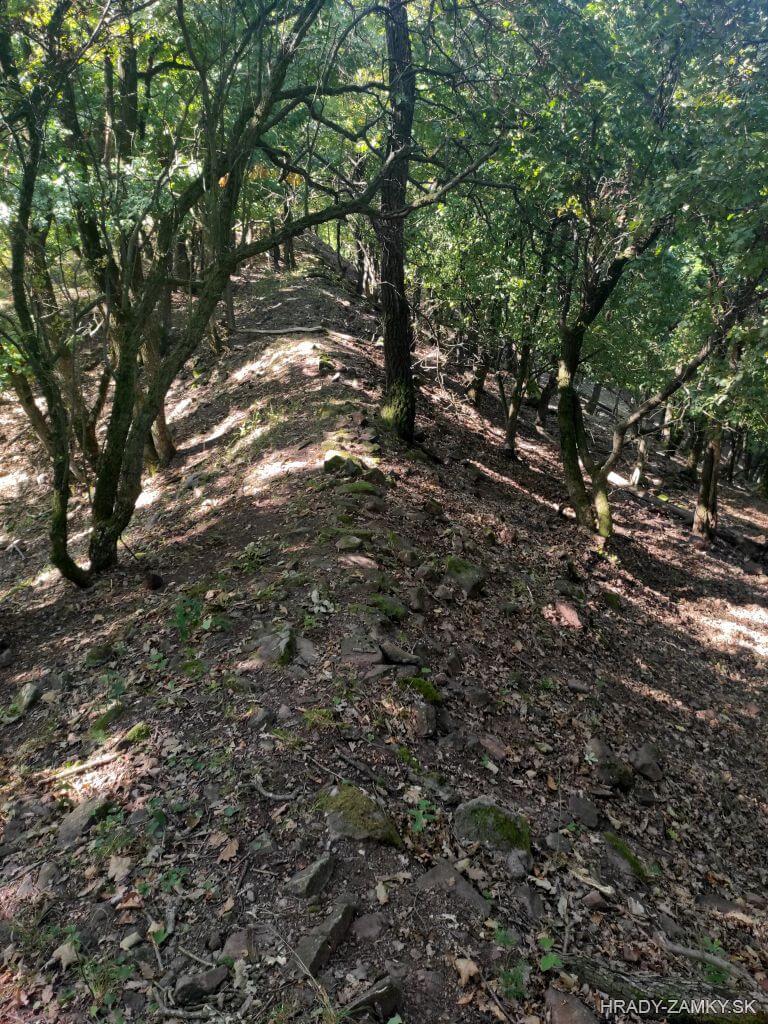
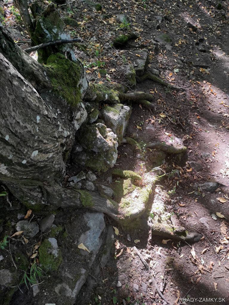
From the southwest, a narrow descending rocky ridge adjoined the outer bailey and formed an outlying section of the fortifications, which also served to control the castle's approaches. Over a length of approximately 110 m and a width of about 15 m, it was enclosed by a stone wall. Continuous remains of this wall, approximately 1.5 m thick, are still visible along the northwestern edge of the ridge. The defences of this section were reinforced by an outer bank with an inner ditch. Several depressions within the fortified area indicate terracing or possible former buildings, while the tapering termination of the fortification may suggest the former presence of a defensive tower.
The entire castle complex occupying the branching summit ridge measured approximately 240 m from north to south and around 260 m from west to east. The original access road ascended from the settlement below the castle along the northern and eastern slopes of the hill. After reaching a small saddle between the castle and the outlying fortification, it passed around the upper castle and entered the courtyard of the outer bailey.
Approximately 160 m southeast of the upper castle, remains of a separate outlying fortification survive on Sokolia skala. Its exact function has not been conclusively determined, since the site has not undergone in-depth archaeological excavation and no direct written records concerning the fortification are known. Its location, however, allowed it to control the final section of the access road to the castle as well as the Chválenská valley, through which a mountain route led towards Pukanec. It may therefore have served as a watch or observation post while also forming an outlying element of the castle's defences.
The fortification on Sokolia skala occupied a rocky spur. Its small oval summit plateau was protected by steep rock faces on the eastern side, while from the west it was defended by a bank with an inner ditch. The entire fortification measured approximately 45 × 30 m. Earlier interpretations also considered the possibility that it represented an older, separate small castle, but this hypothesis has not been confirmed archaeologically.
No in-depth archaeological excavation has yet been carried out at the site, and the castle's architectural development and the appearance of its individual structures therefore cannot be reconstructed precisely. Existing surveys nevertheless confirm its High Medieval origin and extensive medieval occupation across the entire branching summit ridge. The earliest 13th-century buildings can be expected within the upper castle, while intensive use of the other parts of the complex is documented particularly in the 15th century.

2021

Historical and other names: Berzenche, Berzencze, Breznitz, Březnice, Berzence, Barsberzence
Older scholars differed in their views on the date of the castle’s foundation. Pavol Križko assumed that the castle already existed before 1240 and that, after its destruction, it was rebuilt by Philip, Archbishop of Esztergom.
For a long time, a charter from 1273 was regarded as the first written reference to the castle. According to this document, the disputed village of Breznica was to be assigned to the abbey at Hronský Beňadik, while the castle was to remain in the possession of the Archbishop of Esztergom.
More recent research, however, has questioned the authenticity and evidential value of these earlier charters and considers the year 1311 to provide the first reliable evidence of the castle of Berzenche.
At that time, Nicholas, son of Adrian, is mentioned as castellan of Thomas, Archbishop of Esztergom. According to more reliable sources, Breznica belonged to the Archbishopric of Esztergom, and the castle was probably built by the archbishop in the final decades of the 13th century.
At the turn of 1311 and 1312, the castle was seized by Matthew III Csák of Trenčín. According to a contemporary source, it could only be captured by undermining, which damaged and brought down parts of its defensive structures.
The castle probably remained abandoned throughout the following century. In 1411, while the boundaries of estates were being described, it was referred to as castrum fractum, meaning a ruined or damaged castle.
It was not restored until the power struggles of the mid-15th century. In 1457, it was at least formally subject to the monarch. King Ladislaus the Posthumous reprimanded Pongrác of Svätý Mikuláš because his retainers, based at Breznica Castle, were committing acts of violence and robbery against burghers and miners from Nová Baňa, Pukanec and other mining towns, and were seizing their property.
After Matthias Corvinus came to the throne, the castle briefly returned under the authority of the Archbishop of Esztergom. As early as 1460, a captain of Czech origin, John Oderský, was active there. At the time of Matthias Corvinus’s coronation in 1464, however, the Breznica castellan Nicholas Bodok of Nevidzany, appointed by the Archbishop of Esztergom, voluntarily handed the castle over to the “enemy Czechs”. They subsequently launched raids into the surrounding area and also plundered the estates of the nobles of Topoľčianky.
The best-known commander of the Czech, or more precisely Brethren, garrison was Bartoš of Hertvíkovice, who is mentioned as captain of Breznica in 1468 and 1471. A relatively large quantity of ceramic and numismatic finds also dates from this period.
The castle later came under the control of the Archbishop of Esztergom again. In the autumn of 1471, Archbishop John Vitéz led a conspiracy against Matthias Corvinus. After the plot was uncovered, he was forced to submit to the king and promise to hand over the strongholds that still remained in the hands of the conspirators, including Nitra and the fortress of Breznica.
Meanwhile, a Polish army led by Prince Casimir Jagiellon, son of King Casimir IV of Poland, was advancing into the Kingdom of Hungary. According to the original plans of the conspirators, he was to become the new king of Hungary.
Breznica, together with the neighbouring castles of Teplica and Revište, remained on the Polish side as late as June 1472. Juraj Jurcz, captain of Breznica, together with the captains of Revište and Teplica, asked King Casimir IV of Poland for assistance. The king promised him support or compensation in the event that he was unable to hold the castle.
John Vitéz died shortly afterwards, but Matthias Corvinus had meanwhile granted his castles, including Breznica, to John Beckensloer, Bishop of Eger. The resisting captains were eventually forced to submit to the Hungarian king. In 1475, the castellan of Breznica was Juraj de Bessenyw, who at that time sent his retainers to cause damage on the estates of the nobles of Topoľčianky. It is unclear whether he was identical with the previously mentioned Juraj Jurcz.
The castle remained functional at the end of the 15th century. In 1489–1490, construction work was carried out there by Nicholas Kovászi, castellan of Hippolytus d’Este, Archbishop of Esztergom. In 1492–1494, John of Balog and Peter of Čúz are mentioned as castellans. The castle then disappears from written sources and was probably abandoned in the early 16th century.
Its non-functional condition is reflected in a report from 1546. The administrators of the abbey at Hronský Beňadik warned the magistrates of Nová Baňa and the other mining towns that Rafael Podmanický had broken into Hrušov Castle and intended to fortify the abandoned castle at Breznica immediately, having already sent a garrison to occupy it. It is not known whether, or to what extent, he carried out this plan.
By the beginning of the 1560s, the castle was already in a state of decay. When anti-Ottoman defences were being organised in 1564, it was decided to station a watch with a warning fire at the old Breznica Castle, which was to be visible from Hronský Beňadik. From then on, the castle remained in ruins.
Older claims that the castle survived until the beginning of the 18th century and was not demolished even after 1711 were based on a mistaken interpretation of a drawing from 1732. The drawing, which several authors believed to depict Breznica Castle, in fact shows Sitno Castle.
At the end of the 19th century, the castle was surveyed on the surface by Andrej Kmeť. He discovered the remains of a cellar, pottery fragments and a buckle; the finds, together with the surviving masonry, were documented in drawings by the blacksmith Karol Dodek.
In 1990, Martin Bóna carried out a field survey and measured the surviving remains of the castle. In 2001, the site was surveyed and measured again by Miroslav Matejka and Peter Gutek, who also documented the outlying watch fortification at Sokolia skala. Medieval coins and military artefacts obtained during surface archaeological surveys are also known from the castle.
In 2019, Martin Bóna carried out a revised architectural-historical survey of the castle ruins, while Ferdinand Ornth performed a detailed geodetic elevation survey combined with 3D scanning. No in-depth archaeological excavation has yet been carried out at the site.
When enemy troops were besieging Breznica Castle, a handsome soldier serving as a spy seduced one of the castle maids. In return for her help in capturing the castle, he promised to marry her. Tempted by the prospect of a free future, the girl agreed and did as the soldier instructed.
As a signal for the attack to begin, she lit a candle in a clearly visible place and then hid so that no harm would come to her. The attackers began undermining the castle. Suddenly, a terrible explosion thundered out and part of the castle wall collapsed. The castellan, together with his family and retinue, is said to have escaped through an underground passage. The attackers defeated the garrison and took possession of the castle.
The handsome soldier soon found the lovely girl and took her with him when he left, as he had promised. Her deed, however, did not go unpunished. A quarrel broke out between them, and in a fit of rage the soldier decided to kill her.
According to the legend, this is why visiting the place after dark is still not recommended. The ghost of an enchanted girl is said to haunt the site to this day. Could it be the traitress herself?
 How to Get There – Breznica


 Architecture
 Photo Gallery
 History – Breznica
 Legends and Tales